A Cascade of Color


Quincy Junction Rd., Plumas County (10/30/21) Vishal Mishra
This horse seems to be replying, “Sure, it’s beautiful in this pasture, but there’s not an apple tree in sight. You wouldn’t happen to have one on you, would you?”
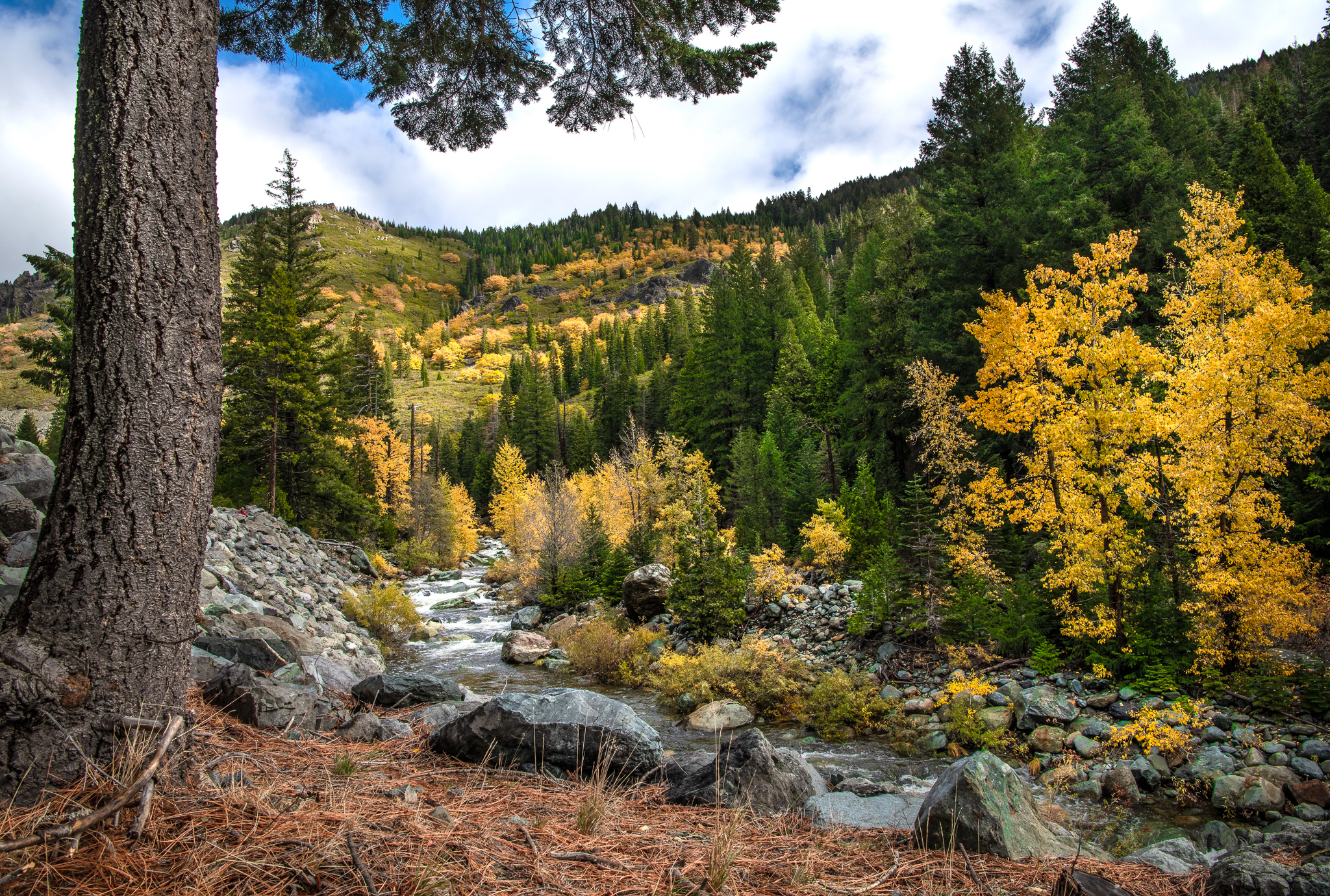
Vishal and Seema Mishra traveled north to Plumas County this weekend, catching the tail end of peak color in Quincy and Graeeagle on a weekend decorated with festive fall happenings.

Quincy (10/30/21) Vishal Mishra
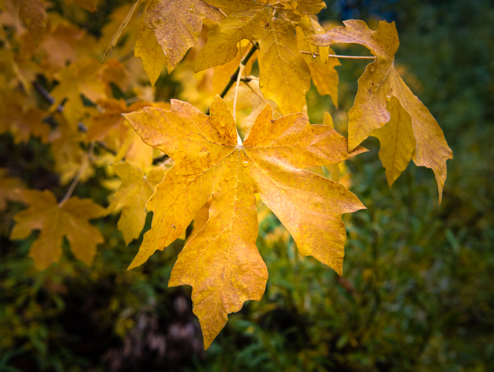
Autumn color is now past peak in Quincy and Graeagle. The trees have lost the luster they carried just days earlier, though autumn can still be enjoyed along with its festive atmosphere in southeast Plumas County.

Graeagle (10/30/21) Vishal Mishra

Indian picnic, Creekside Retreat, Quincy (10/30/21) Vishal Mishra

Indian picnic, Creekside Retreat, Quincy (10/30/21) Vishal Mishra

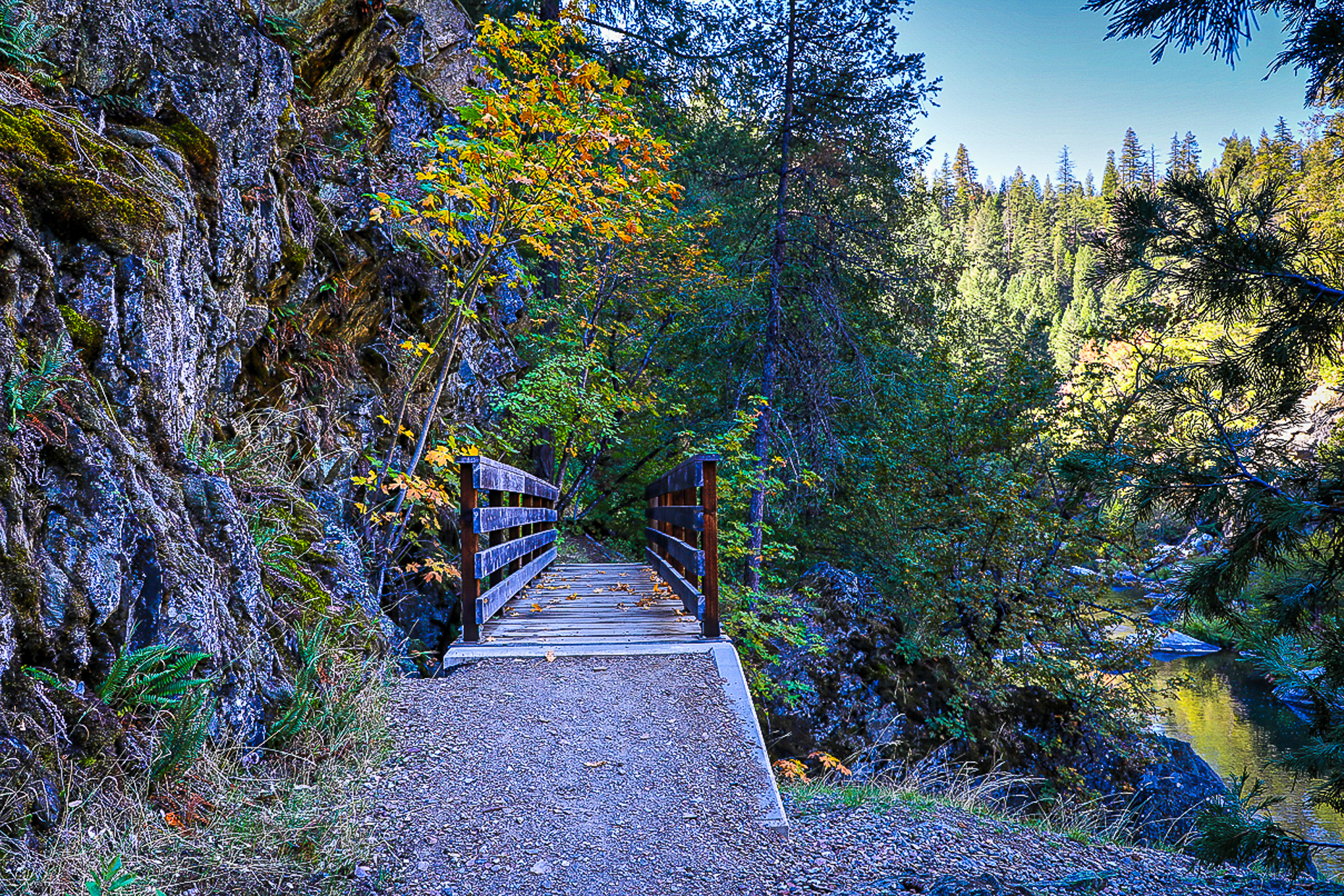
Creekside Retreat, Quincy (10/30/21) Vishal Mishra

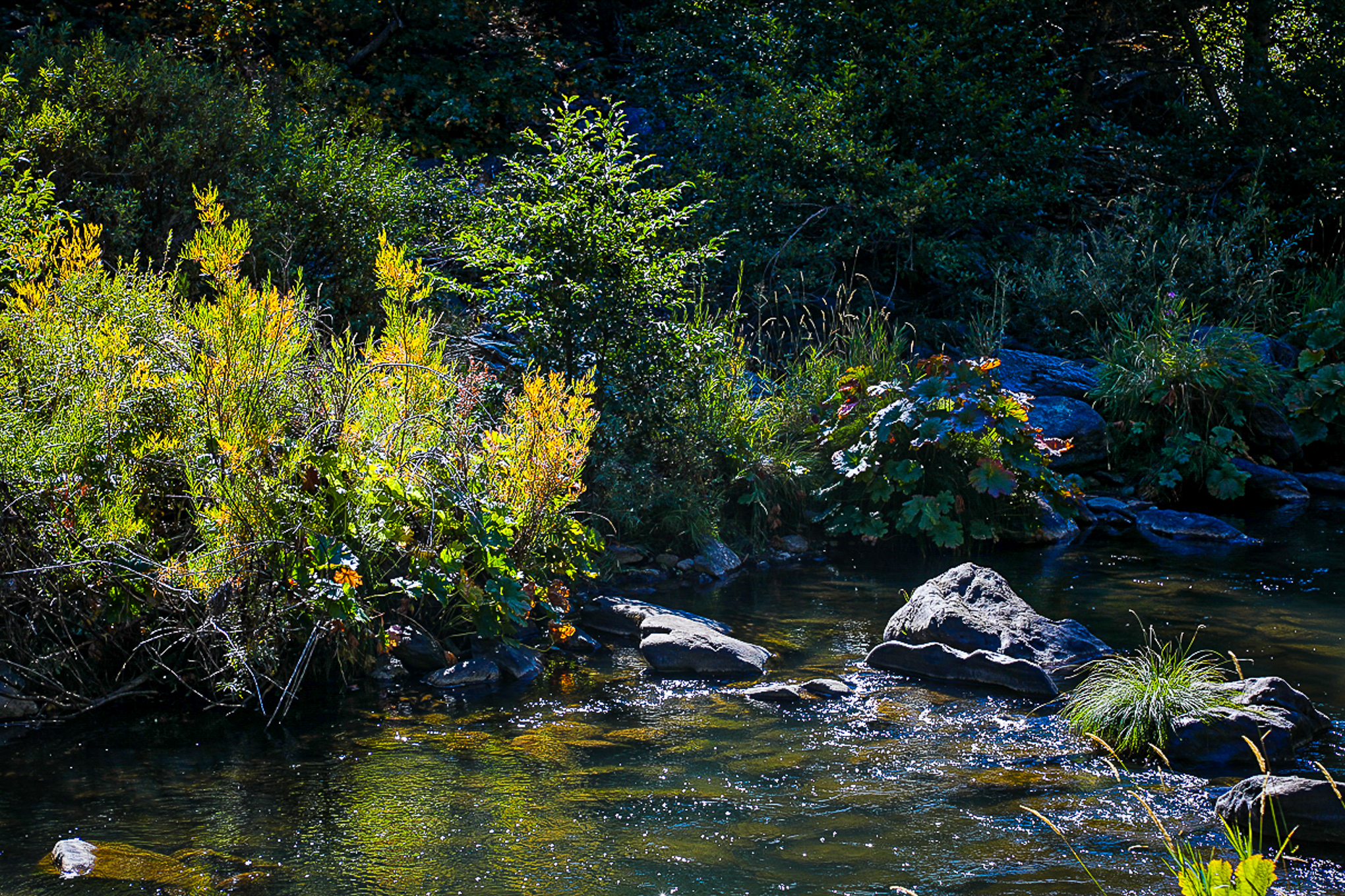
M Fork Feather River, Graeagle (10/30/21) Vishal Mishra

Creekside Retreat, Quincy (10/30/21) Vishal Mishra

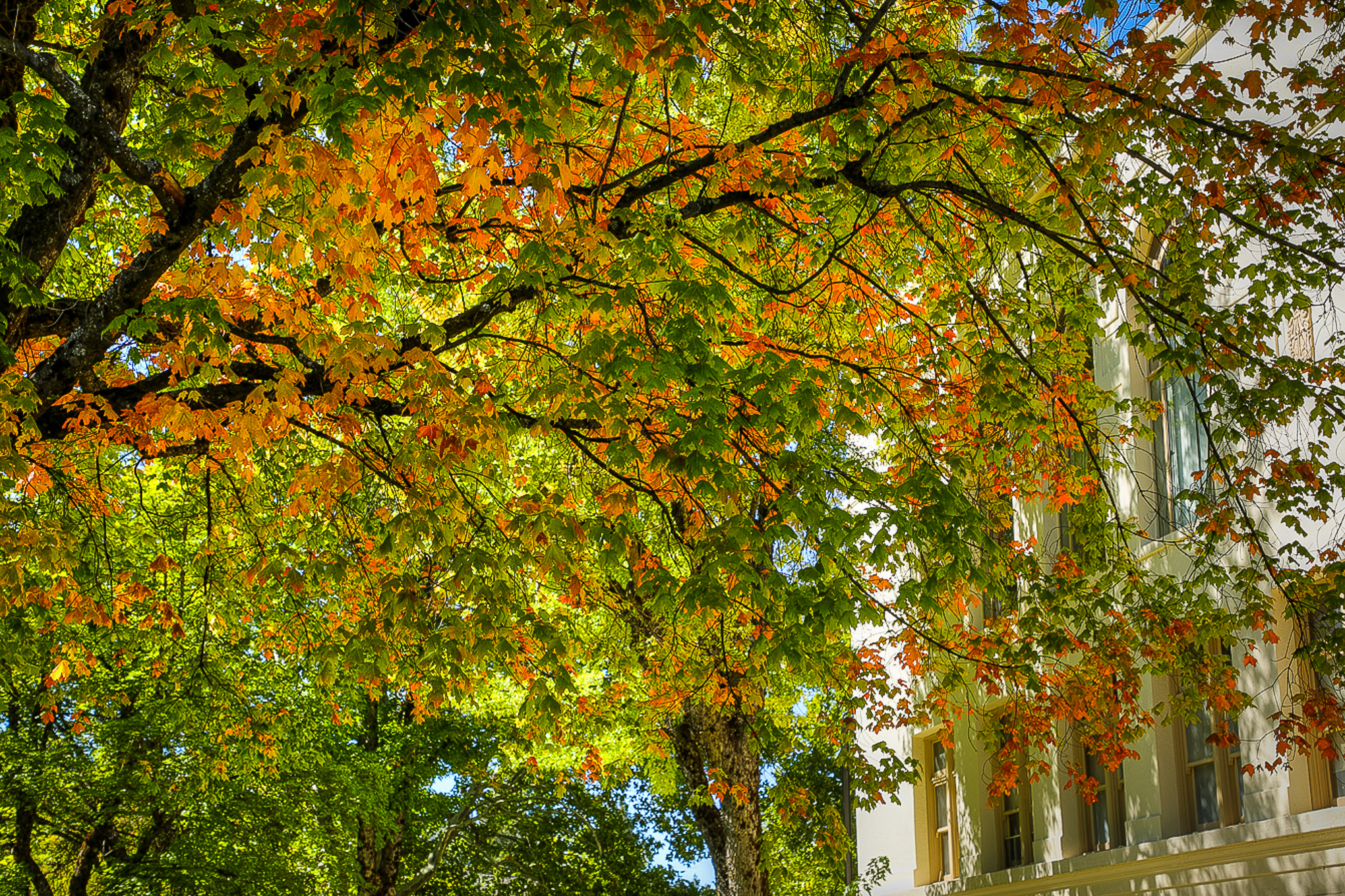
Quincy (10/30/21) Vishal Mishra

Bucks Lake Rd, Meadow Valley (10/30/21) Vishal Mishra

Old Meadow Valley Rd, Quincy (10/30/21) Vishal Mishra

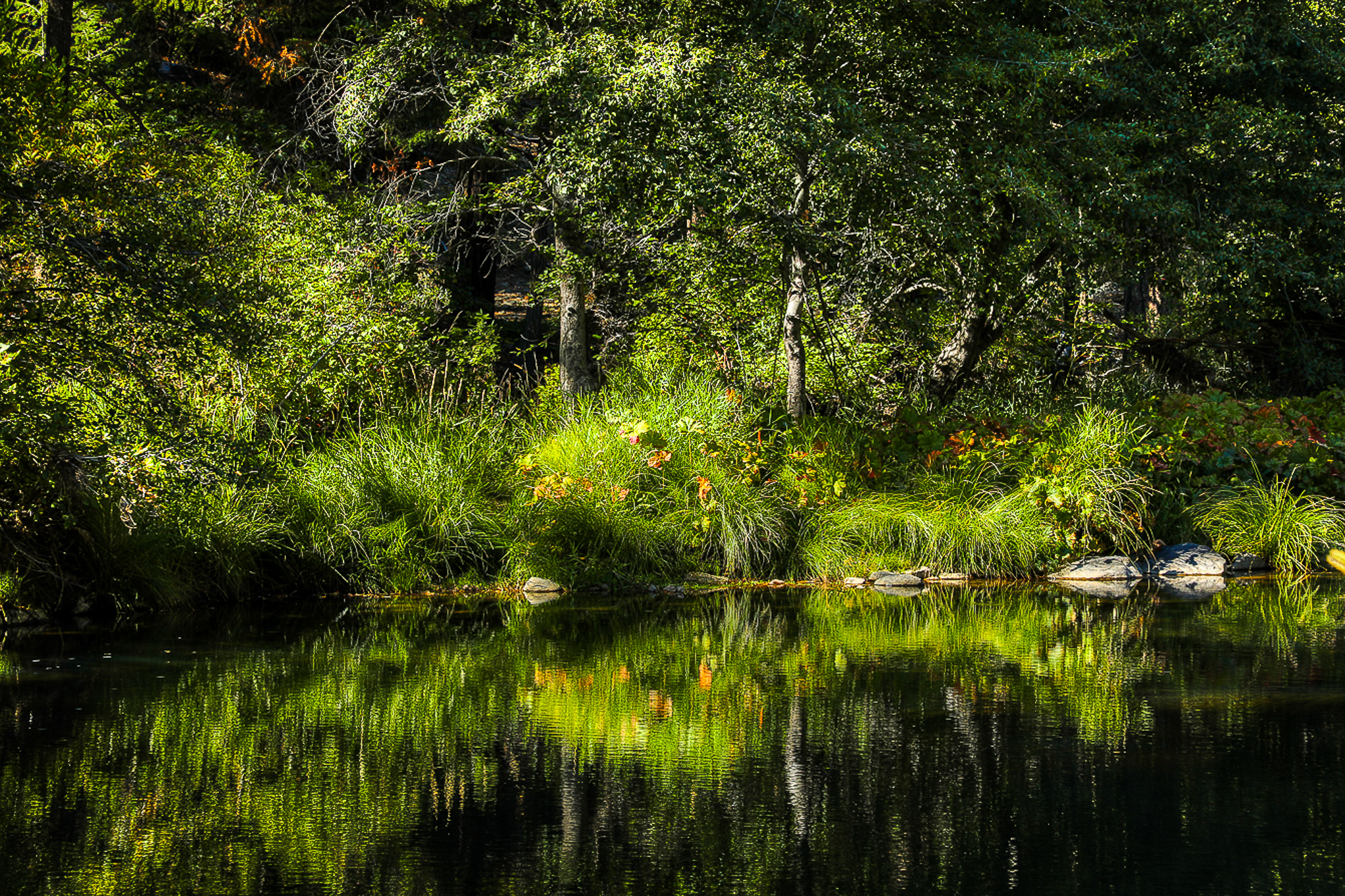
Quincy (10/30/21) Vishal Mishra

Quincy-LaPorte Rd (10/30/21) Vishal Mishra

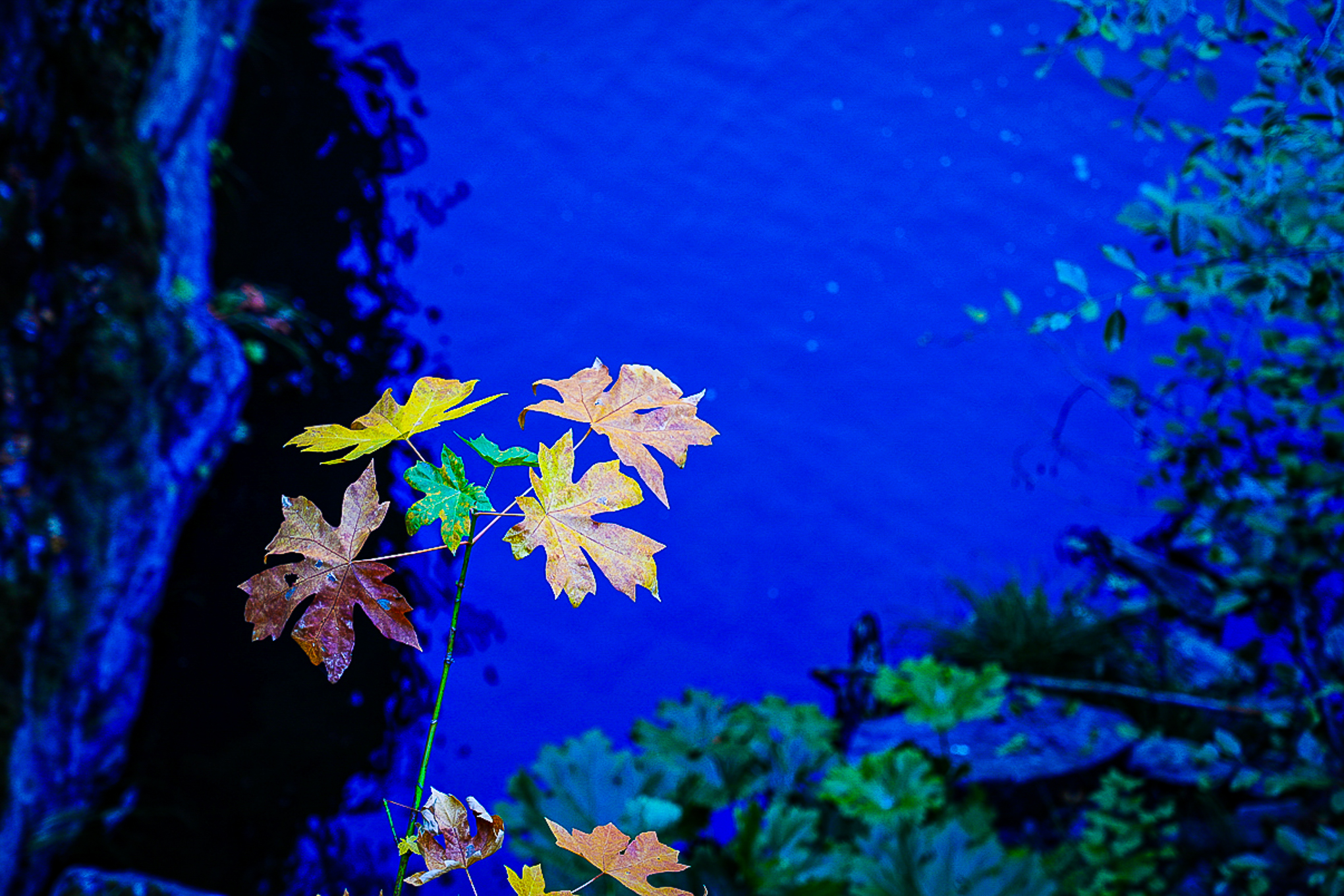
Quincy, Plumas County (10/30/21) Vishal Mishra

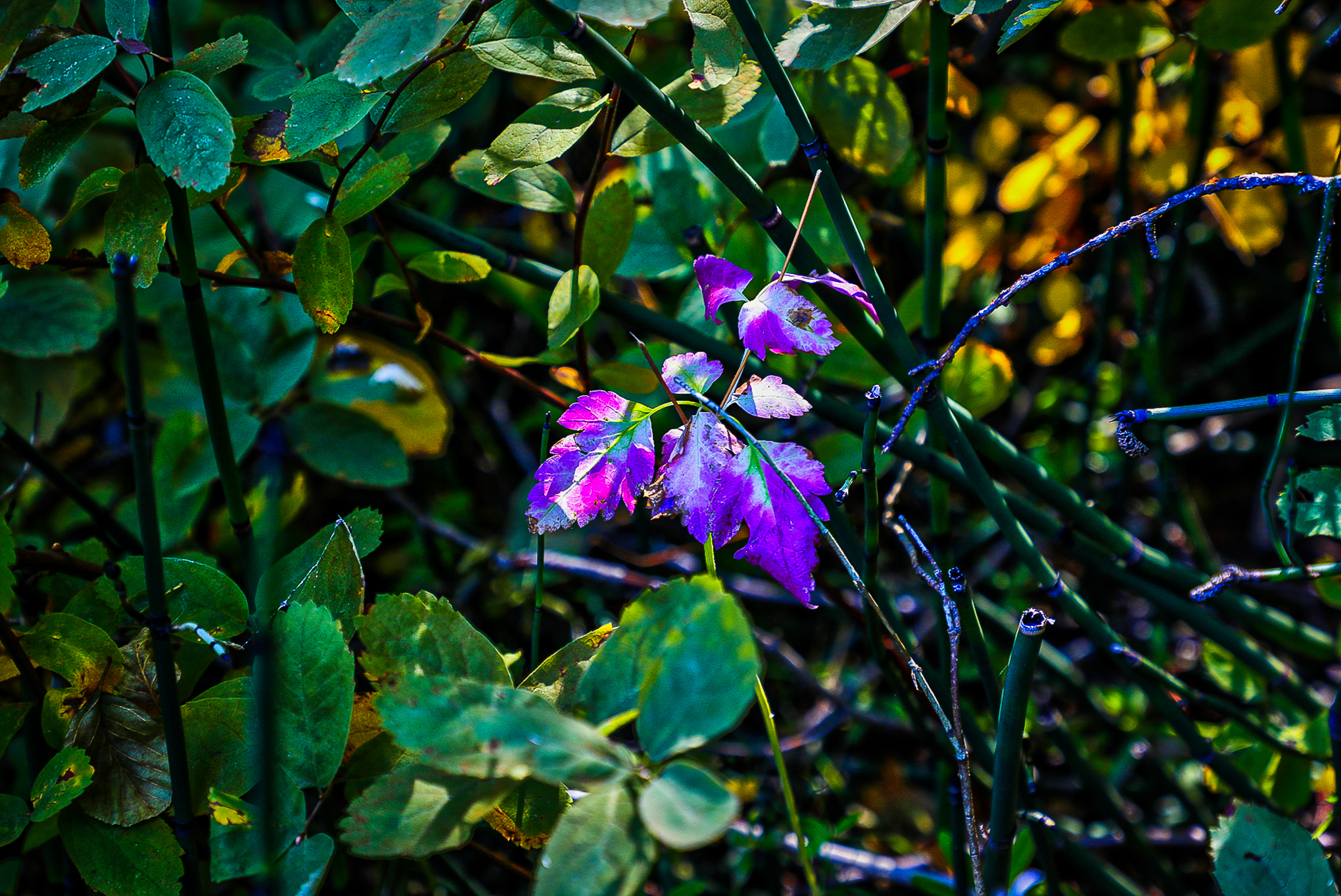
Quincy, Plumas County (10/30/21) Vishal Mishra

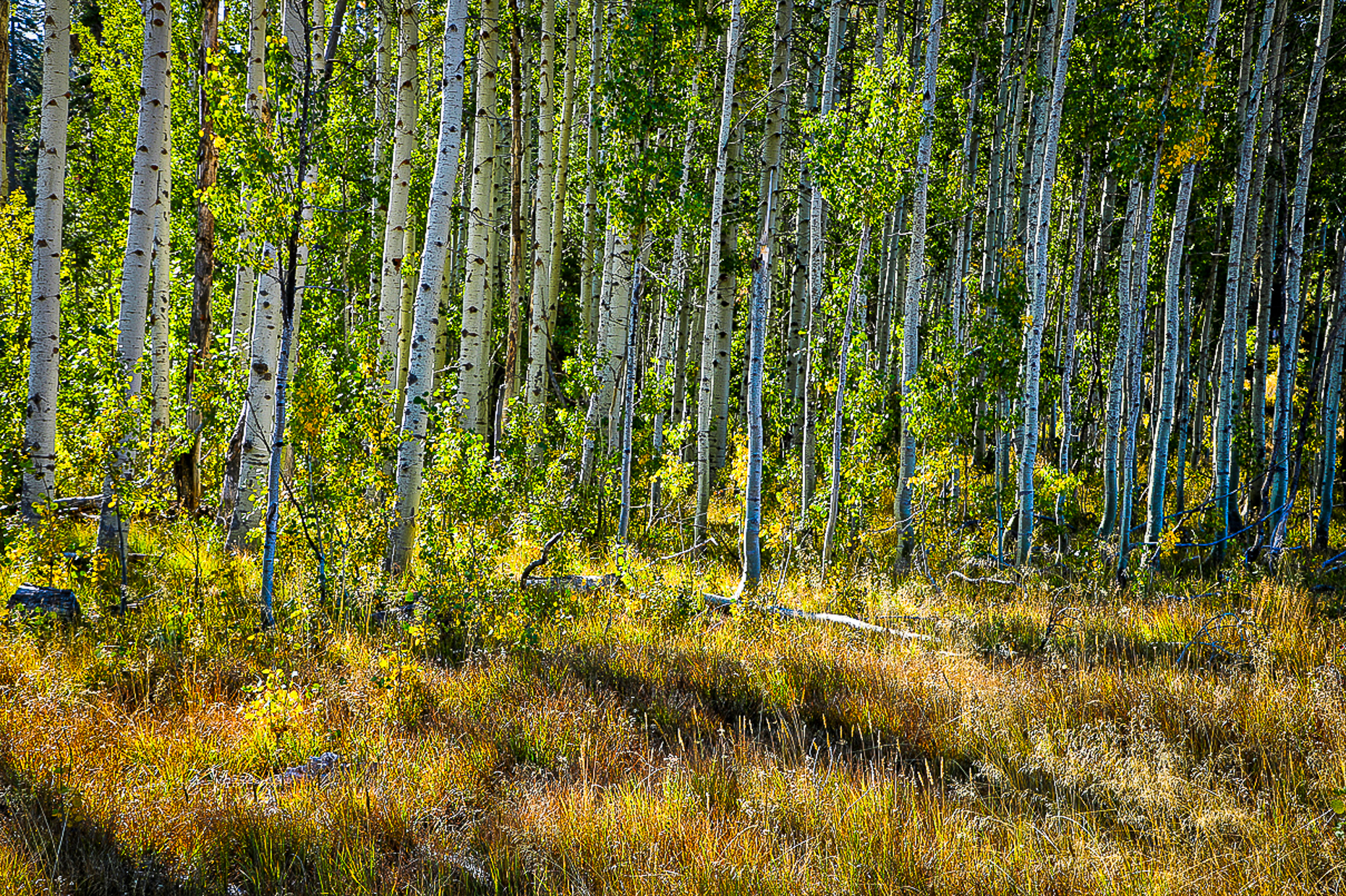
Quincy, Plumas County (10/30/21) Vishal Mishra

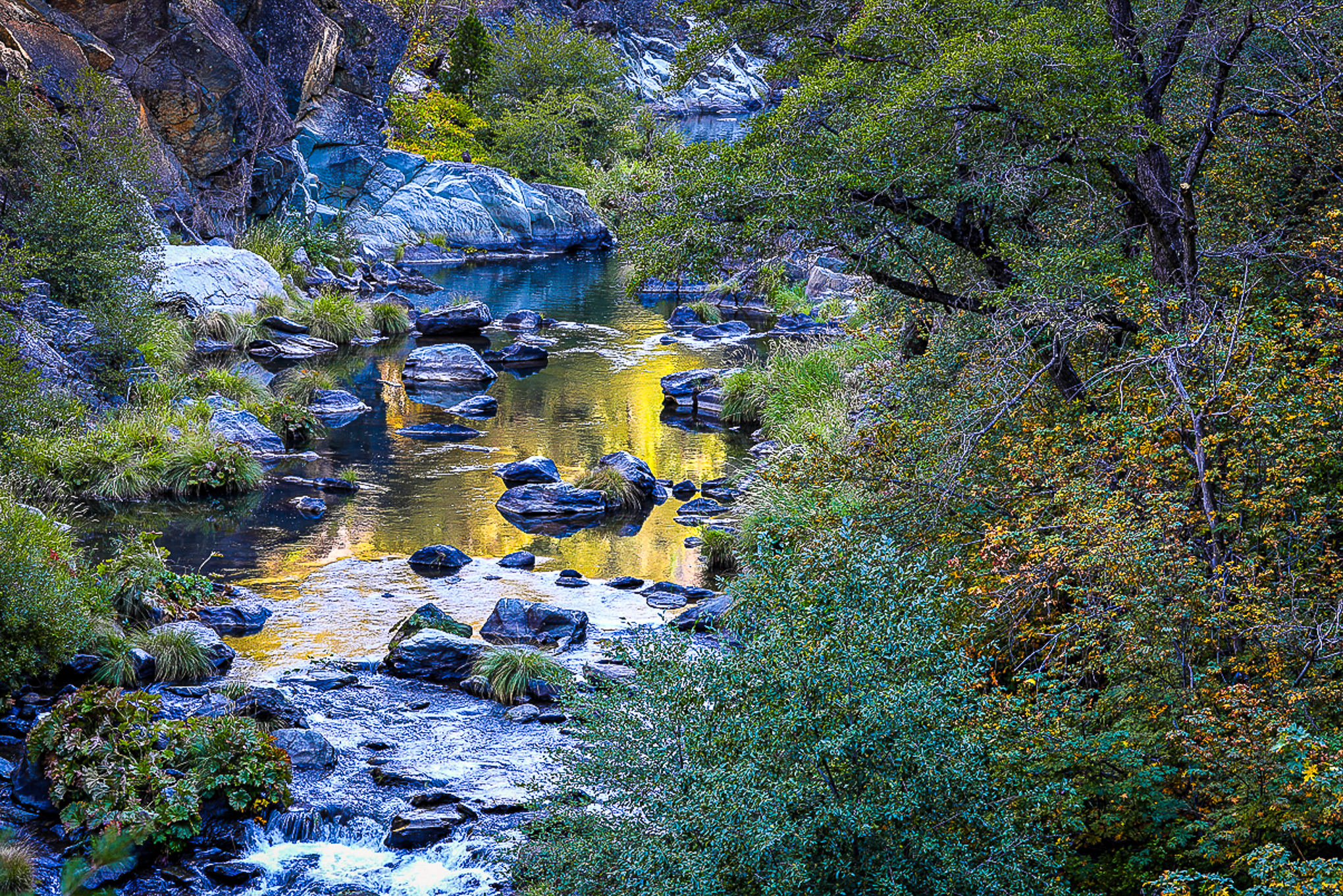
Quincy, Plumas County (10/30/21) Vishal Mishra
![]()

The people who compete in the television reality show The Amazing Race have nothing on Philip Reedy, or many other color spotters who contribute to CaliforniaFallColor.com.

Sierraville (10/27/21) Philip Reedy
Today, Reedy drove from Davis to Truckee, then north to Satley and back west on 49 through Sierra City, Downieville and down, back into the Sacramento Valley … just to see what was peaking.
Tomorrow, his race continues north to the Shasta Cascade, where other avid color spotters will be going, as that’s where fall color prizes can now be found.

Bigleaf Maple, Lavezolla Creek (10/27/21) Philip Reedy
On his whirlwind loop of the northern Golden Chain Highway, he stopped at Cottonwood Creek, just south of Sierraville where patches of snow mix with fall color.

Satley (10/27/21) Philip Reedy
Phil suggests going for shots where fall color and snowfall combine – scenes you get only soon after an early storm like we got on Sunday and Monday. Frozen images like his say a lot about the change of seasons and the fragility of nature.
He advises that between Bassetts Station and Sierra City, there’s good color along the North Fork of the Yuba River and up the mountainsides beside it.

Lavezzola Creek (10/27/21) Philip Reedy
At Lavezzola Creek, Reedy was disappointed to find little sign of Indian Rhubarb by the river. River flows jumped from 200 cubic feet a second to over 8,000 cfs on Sunday night, washing away remaining rhubarb (a nugget to store for future reference). Phil had been planning to take fly fishing shots with peak orange-red rhubarb surrounding the angler, but “it was not to be this year.”
So, Phil is heading north to the Shasta Cascade in his amazing race to find other Indian rhubard which might have avoided being swept away. The race continues and the prize is a rhubarb.


Upon arriving at North Lake Tahoe to winterize the family cabin, I was taken by the brilliance of the aspen along Martis Creek and the north shore. When sunlight kisses them, they blush like a middle schooler at a first dance.
Only, the dance is about to end. Tahoe is in transition. Strong winds are expected to strip these leaves on Sunday, so you only have Saturday to get there and enjoy it while it lasts.


On the return drive, cottonwood along the Truckee River and S. Yuba River were laden with golden leaves.


At Cisco Grove’s Gould Park that straddles the S. Yuba River, images of ruby shrubs and gilded cottonwood made I-80’s freeway sounds fade from memory.

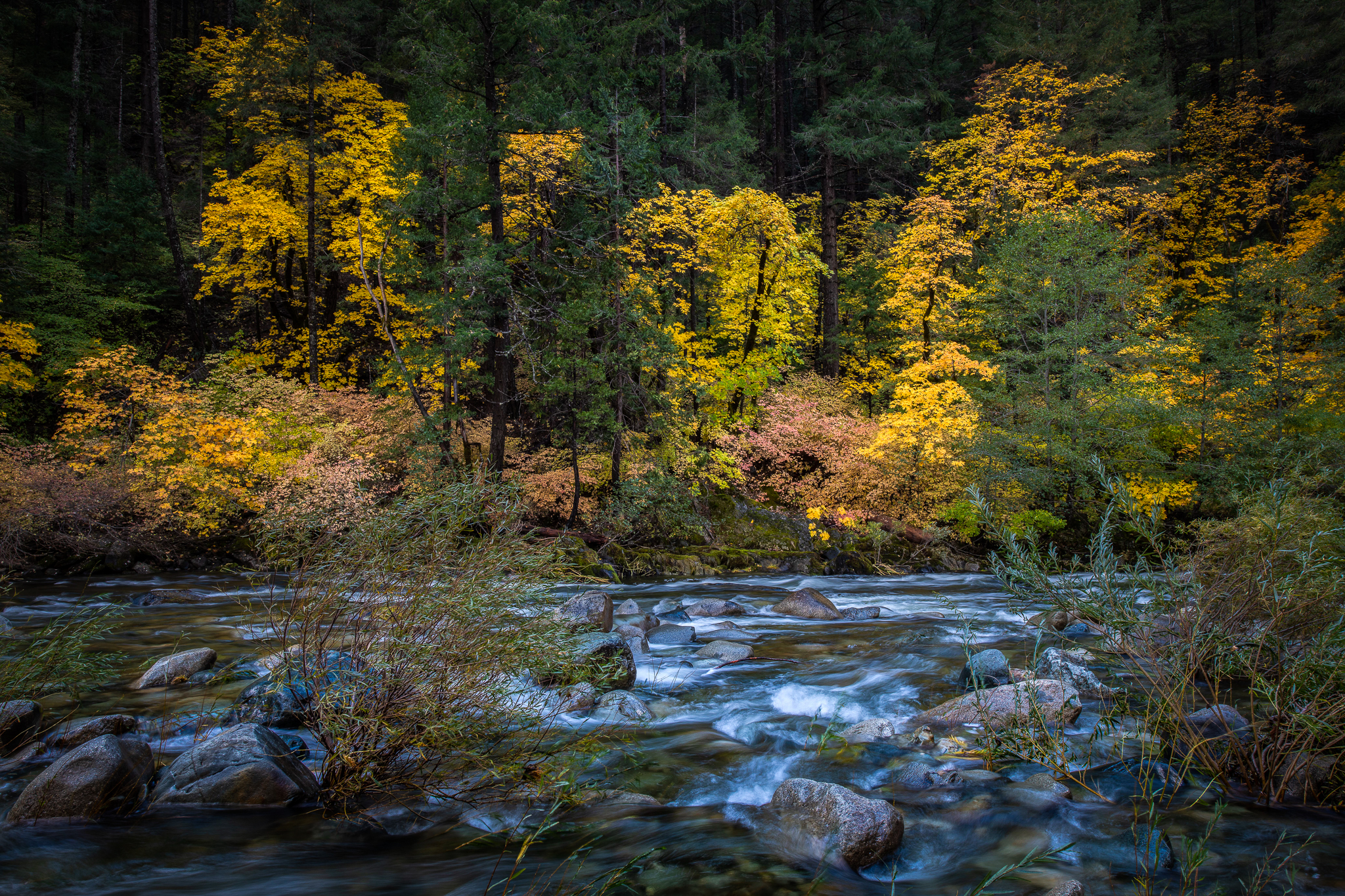
With drizzling rain and fog now finally drenching fire-scared Plumas County, Michael Beatley drove Bucks lake Rd along Spanish Creek in Meadow Valley, finding the aspen, oak and cottonwood at peak, with the aspen “weeping for joy.”


He continued to Quincy and beyond to the Thompson Valley on the edge of town, finding Greenhorn Creek and the valley at peak with oak and cottonwood and maple. Plumas County earned this week’s Peak of the Week.


Lt. John C. Frémont and Charles Preuss climbed Red Lake Peak (10,063′) in 1844, notching the first recorded mountain ascent in the Sierra and the first time non-native people had seen Lake Tahoe. It’s a strenuous climb, though the Red Lake Peak Road is an easier route if you’re in search of fall color.
Meandering below the peak is the West Fork of the Carson River, which scout Kit Carson was following in leading Frémont’s topgraphic party across the Sierra Nevada. It was a winter crossing and the snow was deep, making Frémont and Preuss’ feat all the more impressive.
Frémont wrote, “We are now completely snowed in. The snowstorm is on top of us. The wind obliterates all tracks which, with incredible effort, we make for our horses. The horses are about twenty miles behind and are expected to arrive tonight, or rather, they are now no longer expected. How could they get through? At the moment no one can tell what will really happen. It is certain we shall have to eat horse meat.”
No horse meat was eaten on Bill McFall’s recent visit, although snow had already fallen. He was too busy savoring the last bits of fall color along the road and West Carson River.


Today, Philip Reedy visited the Hope Valley one final time. He timed his visit as snow had just fallen and glazed the landscape. Though, the dusting did not suppress the valley’s iridescent beauty. It accented it.


This autumn, the Hope Valley was challenged by suffocating smoke and singed at its edges by the Caldor Fire. It exited the ordeal as a survivor. And in its final moment, the Hope Valley exhibited luster and grace.


When it comes adding up this strange autumn, consider the sum of drought, smoke and a recent cold snap.
Steve Arita was looking for a way to explain why fall color has been so cattywampus. Following a weekend trip into the Sierra, he said, “I was expecting most areas to be at peak, and while that is the case, it seemed there still are many areas interspersed with lime green with bright colors.”
His conclusion? “This has been a strange year for fall colors.”


At Lake Tahoe, Steve stayed mostly along the west shore. Good idea. There’s not much on the east side near Marlette Lake, and only occasional bright splashes of color elsewhere around the lake. Martis Creek is Past Peak and the Kokanee salmon aren’t spawning.
Why? Add Drought.
It was announced this past week that the Lake has reached its natural rim (6,223′) and is no longer spilling water into the Truckee River. Tahoe is full when the water level is 6,229′, meaning that at the natural rim, the lake has lost six feet of depth across its surface of 191 square miles. That’s 1,146 square miles of water, a foot deep.
What color is found at Tahoe lacks luster and is seen only along creek drainages, Spring Ave. and the bike path.


Steve continued from Lake Tahoe south along CA-89 through the east end of the Hope Valley (passing beautiful color at the Wylder Resort, now at peak), through across the highway, opposite Wylder, the groves are on their way out and will be gone with the next storm.
As for the drive through Markleeville and over Monitor Pass to US 395, Arita said he doesn’t recall ever seeing so many trees showing bright fall colors through Woodfords Canyon, along Markleeville Creek and the East Fork of the Carson River, but as he crossed Monitor Pass, the aspen were Past Peak.
Most of the Hope Valley’s groves – above Wylder toward Carson Pass (CA-88) are now Past Peak. An exception is the groves behind Red Lake Creek Cabin, which have enough Patchy aspen within them, to sustain the show for another few days. Considering that snow will fall all week, the effect of snow on peak fall color should be beautiful.
The first trees to drop their leaves in the Hope Valley were quaking aspen whose leaves – two weeks before – were then edged with or entirely brown.
Why? Add Smoke.
Intense heat and toxic gasses from September’s Caldor fire damaged many, but not all, aspen leaves in the Hope Valley.


By afternoon, Steve had reached the Twin Lakes, southwest of Bridgeport. If you’ve never driven the Eastern Sierra, you’re probably unaware (as I was the first time I traveled the road), that old west ranch life still survives in California. Hundreds of cattle graze across Bridgeport’s miles-wide valley. To the west, snow-flecked sawtooth peaks overlooking these high plains. Mechanized cattle drives transport the cattle to Bridgeport in springtime; by now, they’ve been chauffeured south to their winter grounds. At Twin Lakes, he found aspen reflecting lime-colored, yellow and orange leaves upon indigo waters, ending his first day on the east side.


Saturday morning began early at Silver Lake where a turn of weather from constant cold to temperate days and cold nights allowed Patchy trees to develop vibrant color within the past week. Still, there were remnants of a freezing rain from last Spring with black spot algae on some. Others were dull and mottled.
Why? Add a cold snap.
Vibrant fall color is developed on clear, sunny days with freezing nights. This past week, it stayed cold day and night, dulling the color on leaves, many of which dropped, leaving leaves that hadn’t yet turned.


Along Gull and June Lakes, Steve found yellow intermixed with lime-green leaves. That’s good news, as – conditions permitting – the show will continue to improve as green turns to yellow and yellow turns to orange or red. It was even further along at Silver Lake and along Rush Creek where the colors were a lot brighter and further developed, but still carrying yellow-lime leaves.
However, get there now, as predicted snow – while beautiful right after it drops – can ruin what show remains.
In all, Arita found these forests to be beautiful and visited by crowds at “full throttle.” That adds up to peak color in these locations for a few more days.


The wind, snow and persistent freezing temperatures that affected areas of the High Sierra this past week somewhat spared the Hope Valley (CA-88), providing one refuge of peak color in the Northern Sierra.
Clayton Peoples found, as reported yesterday, that while the cold snap had dulled color in several places, enough Patchy trees were in the Hope Valley that there’s still plenty of Near Peak and Peak color to to avoid destruction.


High winds did strip many groves of their leaves, but enough remain to continue to put on a bright show, as seen in Clayton’s images.
He suspects, “Hope Valley will still be gorgeous this weekend — but also that all the snow seen on Tuesday will have melted off by then. But there’s only one way for people to find out … GO NOW!”
If you include visiting Lake Tahoe on a trip to the Hope Valley, you’ll be disappointed. South Lake Tahoe is still largely Patchy and no Kokanee are running at Taylor Creek. Give it a week for the trees and until it rains for the salmon to spawn.
A stop by the Taylor Creek Visitor Center, operated by the USDA Forest Service was equally depressing. The facility does not appear to have been maintained since it was opened, seemingly decades ago. It was once a modern, attractive building (no doubt a point of pride for the Forest Service), but is today a deteriorating, embarrassing example of failed government planning, funding and neglect.
Restrooms are locked shut (porta potties are provided instead); black plastic trash bags wrap water fountains that no longer work; once-colorful interpretive signs are so faded as to be unreadable as is the center’s welcome sign. When installed, the sign had a USFS logo and the words “Taylor Creek Visitor Center”, now it’s hard to make out what the remaining letters once said. Yesterday, a steady stream of visitors walked to the shuttered derelict, shrugged, then left bewildered, as dejected forest service workers shuffled past like chastised zombies.
No doubt, someone in the Forest Service will read this, eventually. When they do, rather than repair and reopen the center, someone will decide to throw in the towel. A worker will be sent out to Taylor Creek to padlock the gate to the visitor center parking lot, and elsewhere in government another billion dollars will be spent building a bullet train between two farm towns that don’t want it and won’t use it.
As for U.S. 50, it’s disheartening. The Caldor fire crossed the highway at several points between elevation 5,000′ and Echo Summit (7,382′). The forest leading up to the summit and bit beyond it varies from black sticks, to dead trees with brown needles, to green trees, though no fall color is visible. Delays occur along sections of the highway where it is reduced to one lane. The sign to Sierra at Tahoe has been painted over in Navy blue and season pass holders are being given the option for a refund or to keep their pass and ski this winter (should lifts open) and also the following winter.
I’ve heard from ski writers (I used to be one) that the ski lift’s cables were so stretched by the fire’s heat that they will need to be replaced and considering the supply chain difficulties occurring presently, it will likely be a long time before they can be remade and restrung. Further, though the fire spared the ski area’s day lodge, it wiped out a maintenance shop and the equipment inside. Indications are that the ski area will not reopen for its 75th season. Though, I’m more optimistic that the can-do executives at Sierra at Tahoe will get their ski area up and running long before the incompetent bureaucrats in the Forest Service reopen the rest rooms at Taylor Creek.