Home is Where Fall Color Is
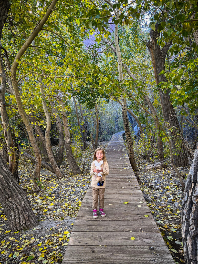


The cottonwood of Mormon Island Wetlands State Park crown a largely ignored woodland island, surrounded by a sea of Folsom homes and roads.
Within the urban enclave, Frémont and black cottonwood; black, blue, valley and leather oak; brown dogwood; northern California black walnut; California buckeye; black elderberry; California grape; western redbud; Pacific poison oak and various types of willows crowd out urban sprawl.
It is rare that so large and wild a place is entirely contained within any California city. However, an undulating landscape littered with fallen branches and shrubs makes Mormon Island Wetlands a difficult place to visit.
The California Department of Parks and Recreation placed a new parking area beside the wetlands when Green Valley Road was widened, recently, but that hasn’t attracted visitors. The lot, though open, is always empty, just like its forest.
What’s needed to make this special place slightly more approachable is an interpreted trail into the tangle of trees and shrubs, one that invites visitation lightly while explaining the diverse life to be found within this verdant oasis.


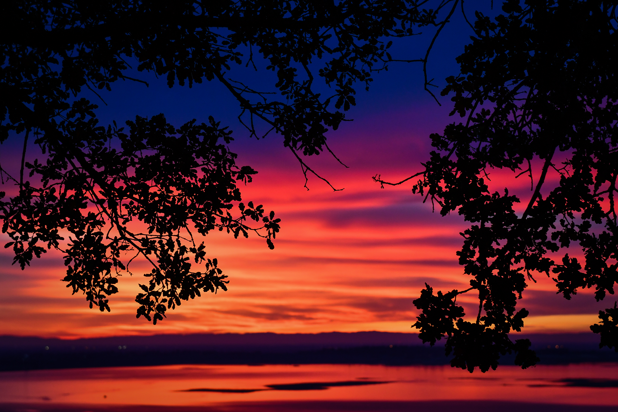
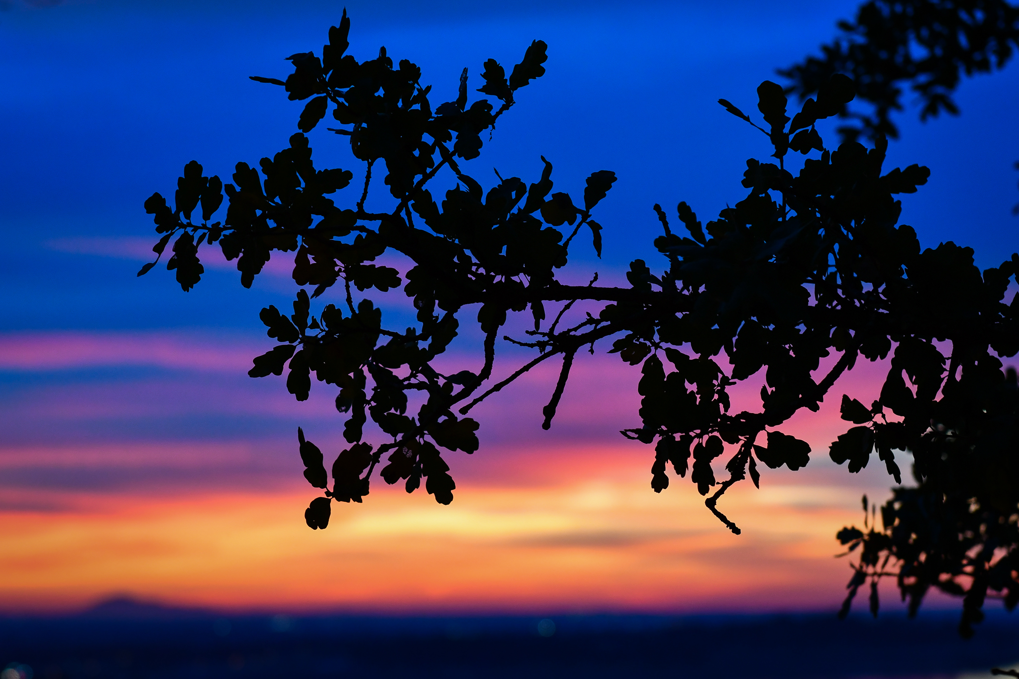
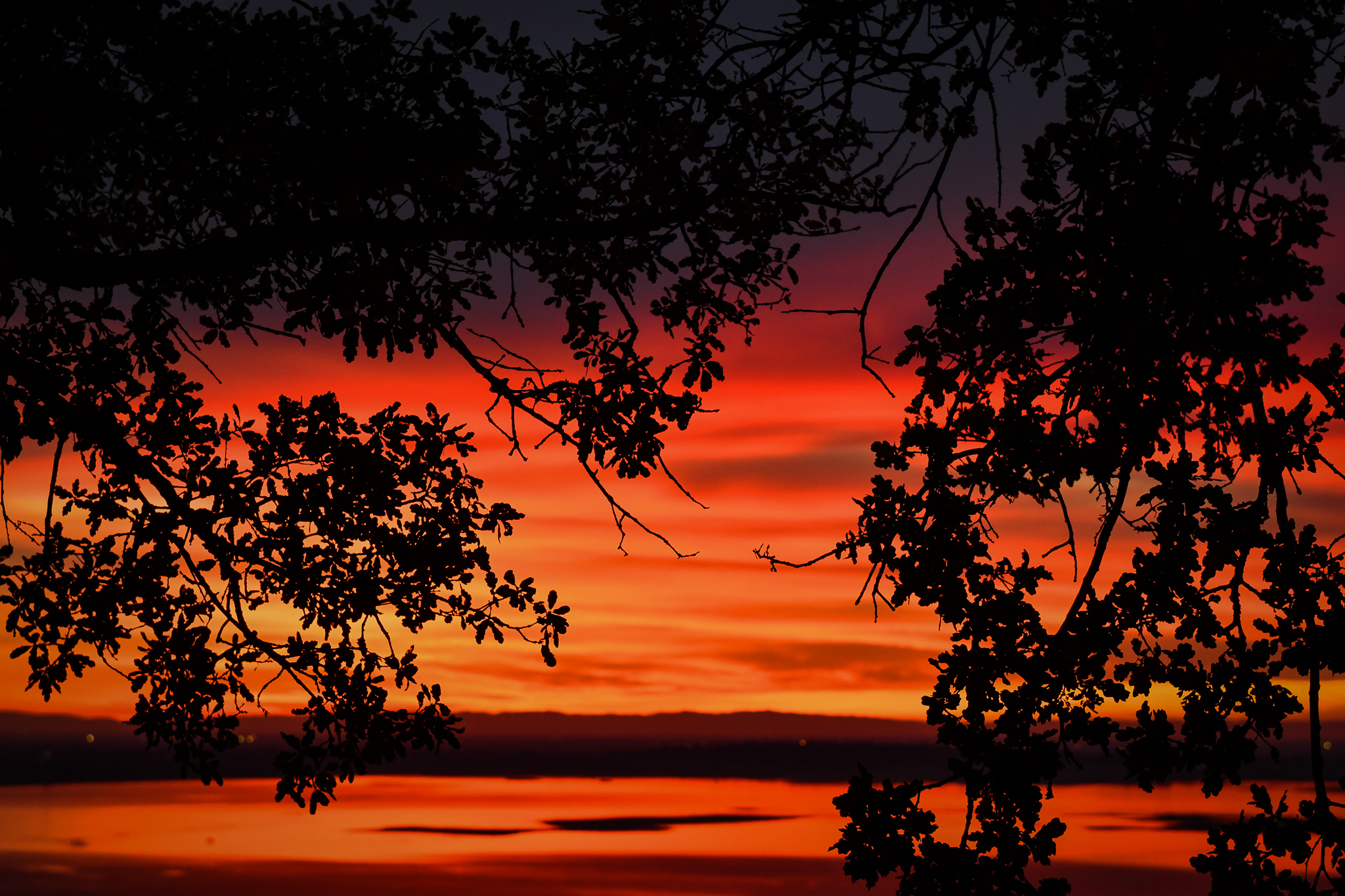
Autumn sunsets have become increasingly colorful in recent years, due to the increasing frequency that California has burned.
I long to return to times when the sunsets weren’t as dazzling, when red balls wouldn’t descend through the haze, when the air didn’t smell like a campfire, when friends and family weren’t evacuated, when forests weren’t closed, when the most beautiful orange in autumn was seen on the trees, not in the sky.

The nearest we can figure about what’s open or closed in the Eastern Sierra is that the USDA Forest Service, despite its declarations, seems to have a “look, don’t touch” approach to visiting Inyo National Forest.
Today, we received numerous reports and photos from color spotters who drove through Bishop Creek Canyon and along the June Lake Loop to view Near Peak to Patchy fall color, this past weekend. They reported that campgrounds, trails and parking lots are closed, with several barricaded. At least one spotter spoke to a USDA FS ranger who said the maximum fine for entering a closed area is $5,000.
The problem arises in that CA-168 and CA-158, as state highways, remain open to vehicular traffic even though signs on US 395 warn that Inyo National Forest is closed. The contradiction gives the impression that it’s OK to stop to see fall color along these highways, when it is not.
For example, the photo of Surveyor’s Meadow (above) was taken beside S. Lake Road where – according to the photographer – no restrictions were noticed, enforced or evident. Yet, the photographer took the photo inside Inyo NF and therefore could have been fined, even though he thought he was doing the correct thing by not entering one of the closed areas. He believed that only the barricaded areas were closed and that the highway was not part of the forest.
If the USDA FS is sincere about closing Inyo NF to hiking, camping, driving and fishing, as stated by them, then roads leading to prime fall color viewing areas should be clearly signed, informing motorists that stopping to look at fall color is not permitted.